
PRODUCT MAPPING AND STRATEGY
Mapped 20+ digital services at the NCA, led agile transition to product model, improving coordination, transparency, and user-centric development across teams. (ongoing)

KYSTDATAHUSET v2
Designed AI-enhanced data portal for public and internal users, boosting metadata quality, discoverability, and strategic reuse of maritime data from the NCA. (ongoing)

Co-founded PLACES.NU
Co-founded a community mapping platform used by 50+ organizations. Adopted by Norway’s largest festival and marine park. A crash course in building, testing, and iterating fast.

TEDx-Arendal 2023
How can maps build empathy? In this talk, I explore the power of cartography to connect people, places, and stories.

Arctic permafrost atlas
Lead editor and cartographer for the Nunataryuk Arctic Permafrost Atlas. An EU H2020 funded project with GRID-Arendal and over 25 scientific partner organizations. (completed)

Geographies of the holocaust
Designing a new cartographic language to analyze and convey the experiences of Holocaust survivors. With Anne K. Knowles and the Geographies of the Holocaust Collaborative. (completed)

Mare Nullius?
Creating legal and GIS scenarios to investigate the possible impacts of climate change on maritime boundaries in the Pacific region. With UiB. (completed)

Developed a GIS model to predict plastic debris accumulation on the Norwegian coastline. With GRID-Arendal and SALT. (completed)
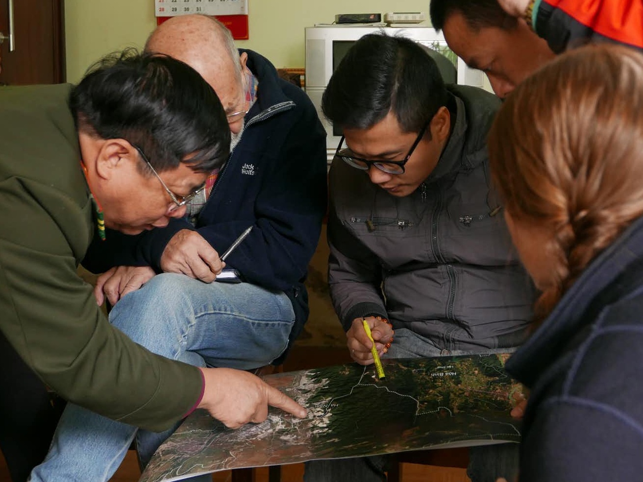
Protected Area Solutions
Producing GIS and mapping solutions to support protected areas in Vietnam and for the global Green List initiative. With GRID-Arendal and IUCN. (completed)


NOMADIC HERDERS / GLOBIO
Supporting stakeholder engagement and knowledge sharing through participatory mapping activities in Finnmark, Norway. With GRID-Arendal and ICR. (completed)

Developing a drone and GIS model to quantify mangrove carbon sequestration capacity in the UAE. With GRID-Arendal and AGEDI. (completed)

臺灣人口普查互動地圖 / Taiwan Census Explorer
Building the online Taiwan Census Explorer interactive atlas. With the National Taiwan University Lab for Geo-computational Sciences. (completed)